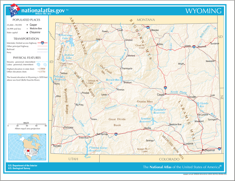
Datei:Map of Wyoming NA.png
aus Wikipedia, der freien Enzyklopädie

Größe dieser Vorschau: 776 × 600 Pixel. Weitere Auflösungen: 311 × 240 Pixel | 621 × 480 Pixel | 994 × 768 Pixel | 1.280 × 989 Pixel | 2.122 × 1.640 Pixel.
Originaldatei (2.122 × 1.640 Pixel, Dateigröße: 2,99 MB, MIME-Typ: image/png)
Dateiversionen
Klicke auf einen Zeitpunkt, um diese Version zu laden.
| Version vom | Vorschaubild | Maße | Benutzer | Kommentar | |
|---|---|---|---|---|---|
| aktuell | 09:35, 15. Aug. 2006 |  | 2.122 × 1.640 (2,99 MB) | wikimediacommons>Huebi~commonswiki | {{Information| |Description=Map of Wyoming |Source=[http://www.nationalatlas.gov National Atlas] }} Category:Maps of the United States Category:Maps of Wyoming {{PD-USGov-Atlas}} |
Dateiverwendung
Die folgende Seite verwendet diese Datei:
