Viti-Levu-Gruppe
| Viti-Levu-Gruppe | ||
|---|---|---|
| Karte Fidschis, die Viti-Levu-Gruppe im Westen | ||
| Gewässer | Pazifischer Ozean | |
| Archipel | Fidschi | |
| Geographische Lage | 17° 48′ S, 178° 0′ O | |
|
| ||
| Hauptinsel | Viti Levu | |
| Gesamte Landfläche | 10,453 km² | |
| Einwohner | 661.997 (2007) | |
| Satellitenbild 2001 | ||
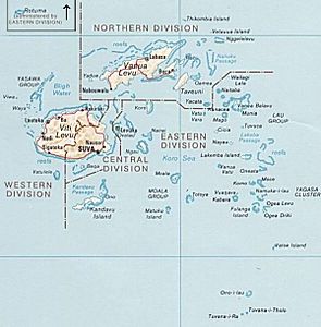
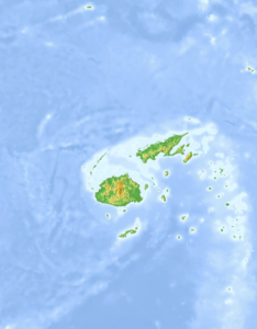
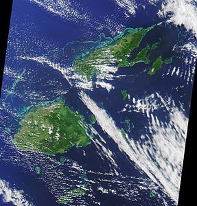
Die Viti-Levu-Gruppe ist eine zum melanesischen Staat Fidschi gehörende Inselgruppe im südlichen Pazifik. Sie besteht aus zwei der Verwaltungsgliederungen Fidschis, der Central Division und der Western Division.
Hauptinsel ist Viti Levu, weitere bewohnte Inseln und Atolle sind: Bau, Beqa, Leleuvia, Naigani, Nananu-i-Cake, Nananu-i-Ra, Nukulau und Vatulele.
Einige Inselgruppen in der Nähe Viti Levus, wie das Lomaivitiarchipel, Mamanuca und die Yasawainseln, gelten als außerhalb liegend und werden gewöhnlich als eigene Inselketten behandelt.
Die Gesamtfläche beträgt 10.453 km², die Bevölkerungszahl für die Central und Western Division laut Census 2007: 661.997 Einwohner (1996: 574 801).
Weitere vorgelagerte, im Allgemeinen unbewohnte Inseln sind:
- Bekana
- Bounty Island
- Laucala
- Macuata
- Makuluva
- Malake
- Malolo
- Malolo Lailai
- Mana
- Naqara
- Nasoata
- Ndrala
- Nukuvutivuti
- Omini
- Qalito
- Qoma
- Qata
- Tawainave
- Telau
- Tivua
- Tovu
- Tovu Lailai
- Treasure Island
- Valolo
- Vatia Lailai
- Vio
- Viwa
- Yanuca
- Yawalau
Weblinks
- Fiji Islands Bureau of Statistics: 2007 Census of population and housing (PDF; 322 kB)
- Detaillierte Karte Fidschis (PDF; 6,3 MB)


