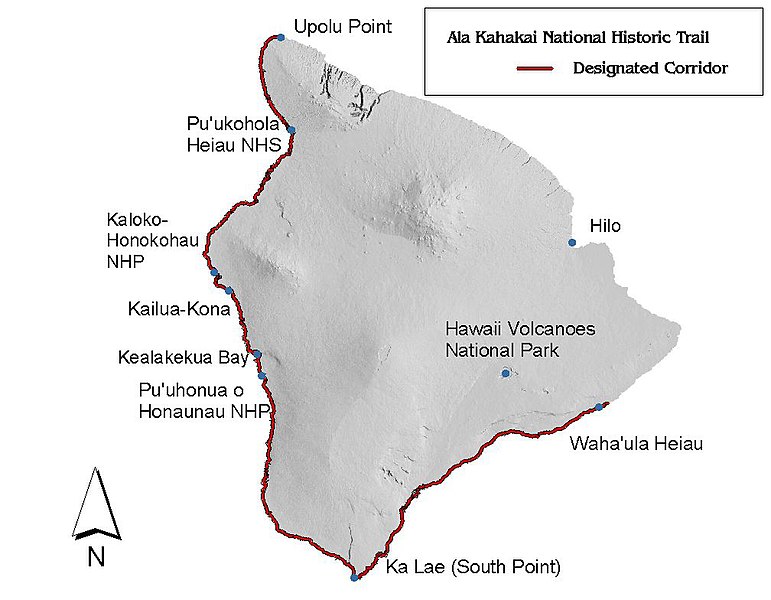
Datei:Ala Kahakai map.jpg
aus Wikipedia, der freien Enzyklopädie

Größe dieser Vorschau: 771 × 600 Pixel. Weitere Auflösungen: 309 × 240 Pixel | 617 × 480 Pixel | 1.008 × 784 Pixel.
Originaldatei (1.008 × 784 Pixel, Dateigröße: 87 KB, MIME-Typ: image/jpeg)
Dateiversionen
Klicke auf einen Zeitpunkt, um diese Version zu laden.
| Version vom | Vorschaubild | Maße | Benutzer | Kommentar | |
|---|---|---|---|---|---|
| aktuell | 01:37, 11. Mai 2009 |  | 1.008 × 784 (87 KB) | wikimediacommons>W Nowicki | {{Information |Description={{en|1=Map of the Ala Kahakai National Historic Trail on the Big Island of Hawai'i from the National Park Service web site}} |Source=http://www.nps.gov/alka/planyourvisit/upload/alkamap.jpg |Author=National Park Service |Date=20 |
Dateiverwendung
Die folgende Seite verwendet diese Datei:
