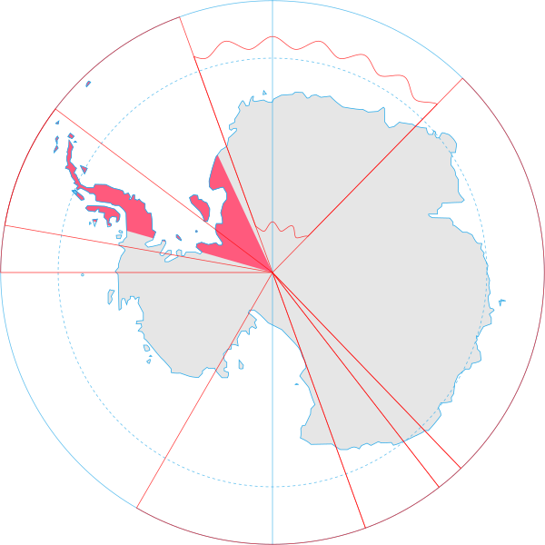
Datei:Antarctica, Argentina territorial claim.svg
aus Wikipedia, der freien Enzyklopädie

Größe der PNG-Vorschau dieser SVG-Datei: 600 × 600 Pixel. Weitere Auflösungen: 240 × 240 Pixel | 480 × 480 Pixel | 2.048 × 2.048 Pixel | 806 × 806 Pixel.
Originaldatei (SVG-Datei, Basisgröße: 806 × 806 Pixel, Dateigröße: 65 KB)
Dateiversionen
Klicke auf einen Zeitpunkt, um diese Version zu laden.
| Version vom | Vorschaubild | Maße | Benutzer | Kommentar | |
|---|---|---|---|---|---|
| aktuell | 20:55, 30. Jun. 2008 | Kein Vorschaubild vorhanden | 806 × 806 (65 KB) | wikimediacommons>Lokal Profil | {{Information |Description={{en|Map showing the territorial claim to Antarctica by the country in the filename. Also on the map are is the 60° S Parallel, Antarctic Circle, 0/180 latitude line and (in red) the borders of the claims by other states.}} |So |
Dateiverwendung
Die folgende Seite verwendet diese Datei: