Datei:Central and Eastern Europe Map.png

Originaldatei (2.416 × 3.230 Pixel, Dateigröße: 1,37 MB, MIME-Typ: image/png)
![]()
Diese Datei und die Informationen unter dem roten Trennstrich werden aus dem zentralen Medienarchiv Wikimedia Commons eingebunden.
![]()
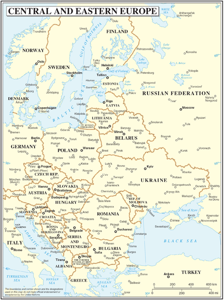
Central and Eastern Europe map
| Beschreibung | Map of Central and Eastern Europe | |||
| Datum | ||||
| Quelle | The Cartographic Section of the United Nations (CSUN) | |||
| Urheber | Cartographer of the United Nations | |||
| Genehmigung (Weiternutzung dieser Datei) |
|

Dateiversionen
Klicke auf einen Zeitpunkt, um diese Version zu laden.
| Version vom | Vorschaubild | Maße | Benutzer | Kommentar | |
|---|---|---|---|---|---|
| aktuell | 16:59, 10. Mär. 2007 | | 2.416 × 3.230 (1,37 MB) | wikimediacommons>Minestrone | Central and Eastern Europe map {{Information |Description=Map of Central and Eastern Europe |Source=The Cartographic Section of the United Nations (CSUN) |Date=2007-03-10 |Author=Cartographer of the United Nations |Permission={{Template:UN map}} and |
Dateiverwendung
Die folgenden 2 Seiten verwenden diese Datei:
