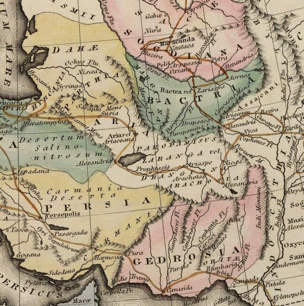
Datei:Gedrosia-Map-Route-of-Alexander-1823-Lucas.png
aus Wikipedia, der freien Enzyklopädie

Größe dieser Vorschau: 596 × 600 Pixel. Weitere Auflösungen: 239 × 240 Pixel | 477 × 480 Pixel | 656 × 660 Pixel.
Originaldatei (656 × 660 Pixel, Dateigröße: 881 KB, MIME-Typ: image/png)
Dateiversionen
Klicke auf einen Zeitpunkt, um diese Version zu laden.
| Version vom | Vorschaubild | Maße | Benutzer | Kommentar | |
|---|---|---|---|---|---|
| aktuell | 17:51, 29. Nov. 2007 |  | 656 × 660 (881 KB) | wikimediacommons>Bejnar | {{Information |Description=Map of the route of Alexander the Great through Gedrosia, Bactria, and Sogdiana part of a map entitled "Alexandri Magni Itinera" based upon Melish (1815) ''Atlas of Ancient Geography'' |Source= scanned from Plate 12 of ''A gener |
