Datei:Location of Gê'gyai within Xizang (China).png
aus Wikipedia, der freien Enzyklopädie
Größe dieser Vorschau: 800 × 564 Pixel. Weitere Auflösungen: 320 × 225 Pixel | 640 × 451 Pixel | 880 × 620 Pixel.
Originaldatei (880 × 620 Pixel, Dateigröße: 40 KB, MIME-Typ: image/png)
![]()
Diese Datei und die Informationen unter dem roten Trennstrich werden aus dem zentralen Medienarchiv Wikimedia Commons eingebunden.
![]()
Beschreibung
| Beschreibung |
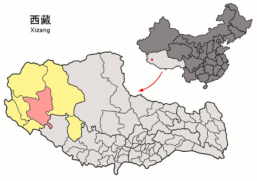
English: Location of Gê'gyai County (pink) and Ngari Prefecture (yellow) within Tibet (Xizang) autonomous region of China |
| Datum | |
| Quelle | Eigenes Werk |
| Urheber | Croquant |
Lizenz
Ich, der Urheber dieses Werkes, veröffentliche es unter der folgenden Lizenz:
Diese Datei ist unter der Creative-Commons-Lizenz „Namensnennung 3.0 nicht portiert“ lizenziert.
- Dieses Werk darf von dir
- verbreitet werden – vervielfältigt, verbreitet und öffentlich zugänglich gemacht werden
- neu zusammengestellt werden – abgewandelt und bearbeitet werden
- Zu den folgenden Bedingungen:
- Namensnennung – Du musst angemessene Urheber- und Rechteangaben machen, einen Link zur Lizenz beifügen und angeben, ob Änderungen vorgenommen wurden. Diese Angaben dürfen in jeder angemessenen Art und Weise gemacht werden, allerdings nicht so, dass der Eindruck entsteht, der Lizenzgeber unterstütze gerade dich oder deine Nutzung besonders.
Dateiversionen
Klicke auf einen Zeitpunkt, um diese Version zu laden.
| Version vom | Vorschaubild | Maße | Benutzer | Kommentar | |
|---|---|---|---|---|---|
| aktuell | 17:17, 26. Aug. 2007 | | 880 × 620 (40 KB) | wikimediacommons>Croquant | == Summary == {{Information |Description=Location of Gê'gyai County (pink) and Ngari Prefecture (yellow) within Tibet (Xizang) autonomous region of China |Source=own work |Date=August 26 2007 |Author= Croquant }} == Licensing == {{self |
Dateiverwendung
Die folgende Seite verwendet diese Datei:

.png)
.png&action=edit&redlink=1)
.png)
.png?uselang=de)
.png)
.png)
.png&action=info)