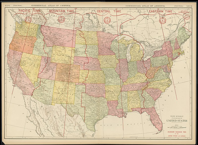
Datei:Rand McNally Standard Map of the United States 1921 UTA.jpg
aus Wikipedia, der freien Enzyklopädie

Größe dieser Vorschau: 800 × 585 Pixel. Weitere Auflösungen: 320 × 234 Pixel | 640 × 468 Pixel | 1.024 × 749 Pixel | 1.280 × 937 Pixel | 2.560 × 1.873 Pixel | 3.673 × 2.688 Pixel.
Originaldatei (3.673 × 2.688 Pixel, Dateigröße: 1,93 MB, MIME-Typ: image/jpeg)
Dateiversionen
Klicke auf einen Zeitpunkt, um diese Version zu laden.
| Version vom | Vorschaubild | Maße | Benutzer | Kommentar | |
|---|---|---|---|---|---|
| aktuell | 19:27, 4. Mai 2022 |  | 3.673 × 2.688 (1,93 MB) | wikimediacommons>Michael Barera | == {{int:filedesc}} == {{Map |title = {{en|'''''Rand McNally Standard Map of the United States'''''}} |description = |legend = |author = {{Unknown|author}} |date = 1921 |source = UTA Libraries ''Cartographic Connections'': [https://libguides.uta.edu/ld.php?content_id=931926 {{I18n/map}}] / [https://libguides.uta.edu/ccon {{I18n/text}}] |permission = |map date = |location = {{United States}} |pr... |
Dateiverwendung
Die folgenden 2 Seiten verwenden diese Datei:

