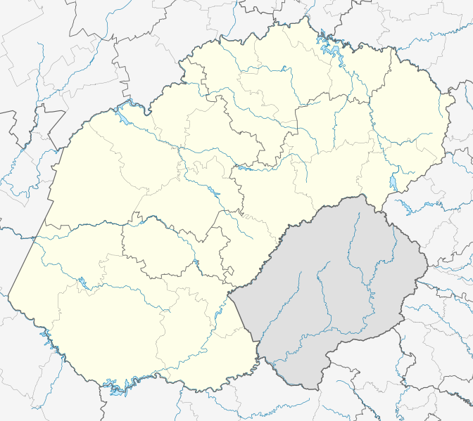
Datei:South Africa Free State location map.svg
aus Wikipedia, der freien Enzyklopädie

Größe der PNG-Vorschau dieser SVG-Datei: 672 × 599 Pixel. Weitere Auflösungen: 269 × 240 Pixel | 538 × 480 Pixel | 861 × 768 Pixel | 1.148 × 1.024 Pixel | 2.296 × 2.048 Pixel | 1.130 × 1.008 Pixel.
Originaldatei (SVG-Datei, Basisgröße: 1.130 × 1.008 Pixel, Dateigröße: 286 KB)
Dateiversionen
Klicke auf einen Zeitpunkt, um diese Version zu laden.
| Version vom | Vorschaubild | Maße | Benutzer | Kommentar | |
|---|---|---|---|---|---|
| aktuell | 23:54, 5. Jan. 2013 |  | 1.130 × 1.008 (286 KB) | wikimediacommons>Htonl | == {{int:filedesc}} == {{Information |Description ={{en|Location map of the en:Free State Equirectangular projection, N/S stretching 114%. Geographic limits of the map: * N: 26.5° S * S: 31° S * W: 24.25° E * E: 30° E}} |Source = *... |
Dateiverwendung
Die folgenden 6 Seiten verwenden diese Datei: