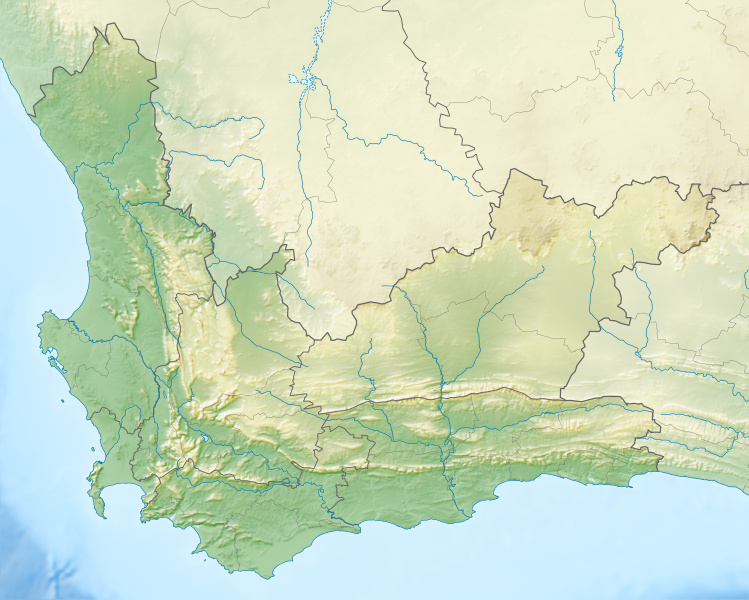
Datei:South Africa Western Cape relief location map.svg
aus Wikipedia, der freien Enzyklopädie

Größe der PNG-Vorschau dieser SVG-Datei: 749 × 600 Pixel. Weitere Auflösungen: 300 × 240 Pixel | 600 × 480 Pixel | 959 × 768 Pixel | 1.279 × 1.024 Pixel | 2.558 × 2.048 Pixel | 1.214 × 972 Pixel.
Originaldatei (SVG-Datei, Basisgröße: 1.214 × 972 Pixel, Dateigröße: 1,98 MB)
Dateiversionen
Klicke auf einen Zeitpunkt, um diese Version zu laden.
| Version vom | Vorschaubild | Maße | Benutzer | Kommentar | |
|---|---|---|---|---|---|
| aktuell | 19:44, 4. Jan. 2013 |  | 1.214 × 972 (1,98 MB) | wikimediacommons>Htonl | {{Information |Description ={{en|1=Relief location map of the Western Cape Equirectangular projection, N/S stretching 118%. Geographic limits of the map: * N: 30.25° S * S: 35.0° S * W: 17.5° E * E: 24.5° E}} |Source ... |
Dateiverwendung
Die folgenden 15 Seiten verwenden diese Datei:
- Boulders Beach
- Dassen Island
- Duiker Island
- Dyer Island (Südafrika)
- False Bay
- Matroosberg
- Montagu-Pass
- Saldanha Bay
- Sankt-Helena-Bucht
- Still Bay
- Tafelbucht
- Walker Bay (Südafrika)
- Benutzer:Olga Ernst/Walker Bay (Südafrika)
- Wikiup:Kartenwerkstatt/Positionskarten/Afrika
- Vorlage:Positionskarte Südafrika Westkap