Datei:Yakima Valley AVA.JPG
aus Wikipedia, der freien Enzyklopädie

Es ist keine höhere Auflösung vorhanden.
Yakima_Valley_AVA.JPG (705 × 468 Pixel, Dateigröße: 126 KB, MIME-Typ: image/jpeg)
![]()
Diese Datei und die Informationen unter dem roten Trennstrich werden aus dem zentralen Medienarchiv Wikimedia Commons eingebunden.
![]()
Beschreibung
| Beschreibung |
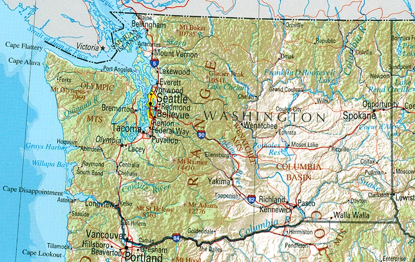
English: Modified map used to show the Yakima Valley AVA within Washington State. Modified copied similarly released to public domain. *note Map excludes depiction of southern en:Horse Heaven Hills AVA which is also part of Yakima Valley. Will hopefully try to get an updated map at some point. |
| Quelle | Original public domain image locate at Perry-Castañeda Library Map Collection provided by [http://www.lib.utexas.edu/maps/washington.html U.S. Geological Survey 2001, printed 2002 |
| Urheber |
Lizenz
Dieses Bild ist gemeinfrei (public domain), weil es Materialien beeinhaltet, die ursprünglich vom United States Geological Survey, einer Behörde des Innenministeriums der Vereinigten Staaten, stammen. Weitere Informationen finden Sie in den Urheberrechtsbestimmungen des USGS
|
Ursprüngliches Datei-Logbuch
Die ursprüngliche Dateibeschreibungsseite war hier. Alle folgenden Benutzernamen beziehen sich auf en.wikipedia.
- 2007-06-15 03:13 Agne27 705×468×8 (128997 bytes) {{PD-USGov}} Modified map used to show the Yakima Valley AVA within Washington State. Original public domain image locate at [http://www.lib.utexas.edu/maps/us_2001/washington_ref_2001.jpg Perry-Castañeda Library Map Collection] provided by [http://www.l
Dateiversionen
Klicke auf einen Zeitpunkt, um diese Version zu laden.
| Version vom | Vorschaubild | Maße | Benutzer | Kommentar | |
|---|---|---|---|---|---|
| aktuell | 13:11, 5. Jun. 2008 | | 705 × 468 (126 KB) | wikimediacommons>File Upload Bot (Magnus Manske) | {{BotMoveToCommons|en.wikipedia}} {{Information |Description={{en|Modified map used to show the Yakima Valley AVA within Washington State. Original public domain image locate at [http://www.lib.utexas.edu/maps/us_2001/washington_ref_2001.jpg Perry-Casta� |
Dateiverwendung
Die folgende Seite verwendet diese Datei:
