Farsi (Insel)
aus Wikipedia, der freien Enzyklopädie
| Farsi | ||
|---|---|---|
| Gewässer | Persischer Golf | |
| Geographische Lage | 27° 59′ 34″ N, 50° 10′ 21″ O | |
|
| ||
| Länge | 852 m | |
| Breite | 407 m | |
| Fläche | 25 ha | |
| Höchste Erhebung | 3 m | |
| Einwohner | unbewohnt | |
Farsi (persisch جزیره فارسی, DMG
ǧazīre-ye Fārsī
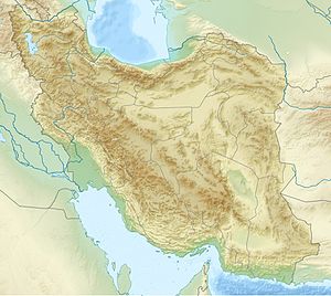
) ist eine iranische Insel in der Provinz Buschehr im Persischen Golf.
Es gab auf der 3 m hohen Insel eine Marine-Basis[1] und die Insel ist reich an Öl und Gasvorkommen. Farsi ist Standort eines Leuchtturms.[2][3]
Siehe auch
Einzelnachweise
- ↑ Ahmad Razavi: Continental Shelf Delimitation and Related Maritime Issues in the Persian Gulf. Martinus Nijhoff, 1997, ISBN 90-411-0333-3, S. 131 (eingeschränkte Vorschau in der Google-Buchsuche).
- ↑ Lighthouses of Southern Iran, abgerufen am 27. Januar 2012
- ↑ World List of Lights (WLOL) (Amateur Radio Lighthouse Society), abgerufen am 27. Januar 2012
