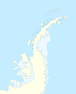
Portal Point
aus Wikipedia, der freien Enzyklopädie
| Portal Point | ||
| Geographische Lage | ||
| Koordinaten | 64° 30′ S, 61° 46′ W | |
| Lage | Grahamland, Antarktische Halbinsel | |
| Küste | Danco-Küste | |
| Gewässer | Gerlache-Straße | |
| Gewässer 2 | Charlotte Bay | |
Der Portal Point (englisch, in Argentinien
Punta Portal
) ist eine schmale Landspitze an der Danco-Küste des westantarktischen Grahamlands. Er liegt am nordöstlichen Ende der Reclus-Halbinsel.
Der Falkland Islands Dependencies Survey errichtete hier 1956 eine Schutzhütte, die als Ausgangspunkt für eine Route auf das Inlandsplateau diente. Das UK Antarctic Place-Names Committee benannte die Landspitze 1960 so, da sie gewissermann das Eingangsportal dieser Route darstellt.
Weblinks
- Portal Point im Geographic Names Information System des United States Geological Survey (englisch)
- Portal Point auf geographic.org (englisch)
