Taylor (Missouri)
aus Wikipedia, der freien Enzyklopädie
| Taylor | ||
|---|---|---|
|
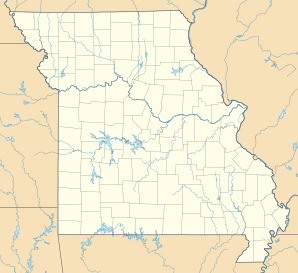
Lage in Missouri
| ||
| Basisdaten | ||
| Staat: | Vereinigte Staaten | |
| Bundesstaat: | Missouri | |
| County: | Marion County | |
| Koordinaten: | 39° 56′ N, 91° 31′ W | |
| Zeitzone: | Central (UTC−6/−5) | |
| Höhe: | 149 m | |
| Postleitzahlen: | 63471[1] | |
| Vorwahl: | +1 573 | |
| FIPS: | 29-72502 | |
| GNIS-ID: | 741313 | |
Taylor (auch Taylors Mills[2]) ist eine Streusiedlung im Marion County[3] im Nordosten des US-amerikanischen Bundesstaates Missouri. Taylor gehört als Unincorporated Community keiner Gemeinde an.
Der Ort liegt 8,6 km westlich des Mississippi River, der die Grenze zum benachbarten Bundesstaat Illinois bildet.[4]
An Taylor führt der U.S. Highway 61 vorbei, von der am östlichen Rand des Ortes der U.S. Highway 24 abzweigt.
Über den Highway 61 sind es 36 km in südlicher Richtung nach Hannibal. In östlicher Richtung sind es über den Highway 24 bis Quincy im benachbarten Illinois 10 km. Nach Norden sind es 66 km über den Highway 61 bis zur Grenze zwischen den Bundesstaaten Missouri und Iowa.[4]
Einzelnachweise
- ↑ US Postal Service - ZIP Codes
- ↑ Ramsay Place-Name Card Collection. A collection of approximately 32,000 place names on filing cards. Three sets exits: one at USGS-GNIS in Reston, Virginia; one in the Western Historical Manuscripts Collection at the University of Missouri-Columbia; one in the State Historical Society of Missouri at the University of Missouri-Columbia. The last set was used for Phase II compilation because it was organized by counties. Names were collected by students writing theses during the period 1929 to 1945. The date on the Phase II entry refers to the year of completion of the thesis that covered a given county. SHS-MO/1938
- ↑ Find a County
- ↑ a b Google Maps
