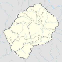
Thaba Mokhele
aus Wikipedia, der freien Enzyklopädie
| Thaba Mokhele | ||
|---|---|---|
|
| ||
| Koordinaten | 30° 1′ S, 27° 33′ O | |
| Basisdaten | ||
| Staat | Lesotho | |
| Berea | ||
| ISO 3166-2 | LS-D | |
| Einwohner | 18.135 (2006) | |
Thaba Mokhele ist ein Community Council im Distrikt Mohale’s Hoek von Lesotho. 2006 hatte die Kommune 18.135 Einwohner.[1]
Lage
Der Ort liegt im Südwesten von Lesotho, am Anstieg zu den Drakensbergen.[2] Zur Kommune gehören die Orte[3]:
Literatur
- M. Fitzpatrick, B. Blond, G. Pitcher, S. Richmond, M. Warren: South Africa, Lesotho and Swaziland. Footscray, VIC: Lonely Planet 2004.
Einzelnachweise
- ↑ Statoids.com
- ↑ Thaba Mokhele Community bei GeoNames, geonames.org. 2022-02-10.
- ↑ Lesotho Bureau of Statistics, Village List 2006.
