Tolland (Connecticut)
aus Wikipedia, der freien Enzyklopädie
| Tolland | ||
|---|---|---|
 Tolland Town Hall (Rathaus) | ||
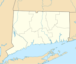
| Lage in Connecticut | ||
|
| ||
| Basisdaten | ||
| Staat: | Vereinigte Staaten | |
| Bundesstaat: | Connecticut | |
| County: | Tolland County | |
| Koordinaten: | 41° 52′ N, 72° 22′ W | |
| Zeitzone: | Eastern (UTC−5/−4) | |
| Fläche: | 40,3 km² (ca. 16 mi²) davon 39,7 km² (ca. 15 mi²) Land | |
| Bevölkerungsdichte: | 0 Einwohner je km² | |
| Höhe: | 200 m | |
| Postleitzahl: | 06084 | |
| Vorwahl: | +1 860 | |
| FIPS: | 09-76290 | |
| GNIS-ID: | 0212667 | |
| Website: | www.tolland.org | |
Tolland ist eine Stadt im Tolland County im US-Bundesstaat Connecticut, Vereinigte Staaten, mit 14.500 Einwohnern (Stand: 2004) und ehemaliger Sitz der County-Verwaltung vor deren Abschaffung 1960. Die geographischen Koordinaten sind: 41,87° Nord, 72,37° West. Das Stadtgebiet hat eine Größe von 104,4 km².
Weblinks
Commons: Tolland (Connecticut) – Sammlung von Bildern, Videos und Audiodateien
- Offizieller Internetauftritt der Stadt Tolland
